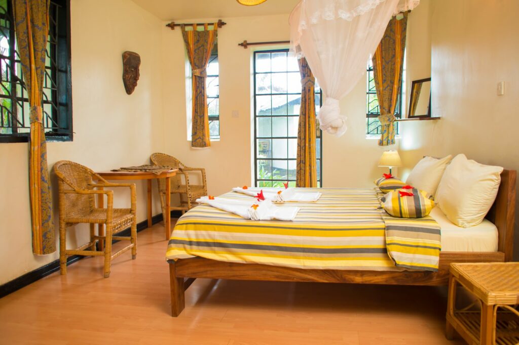
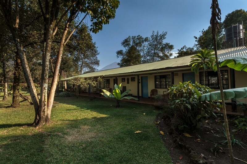
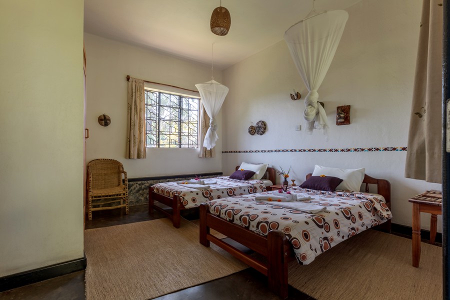
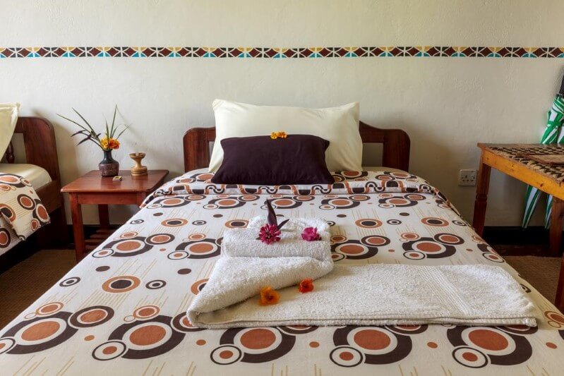
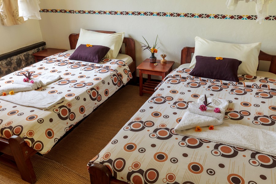
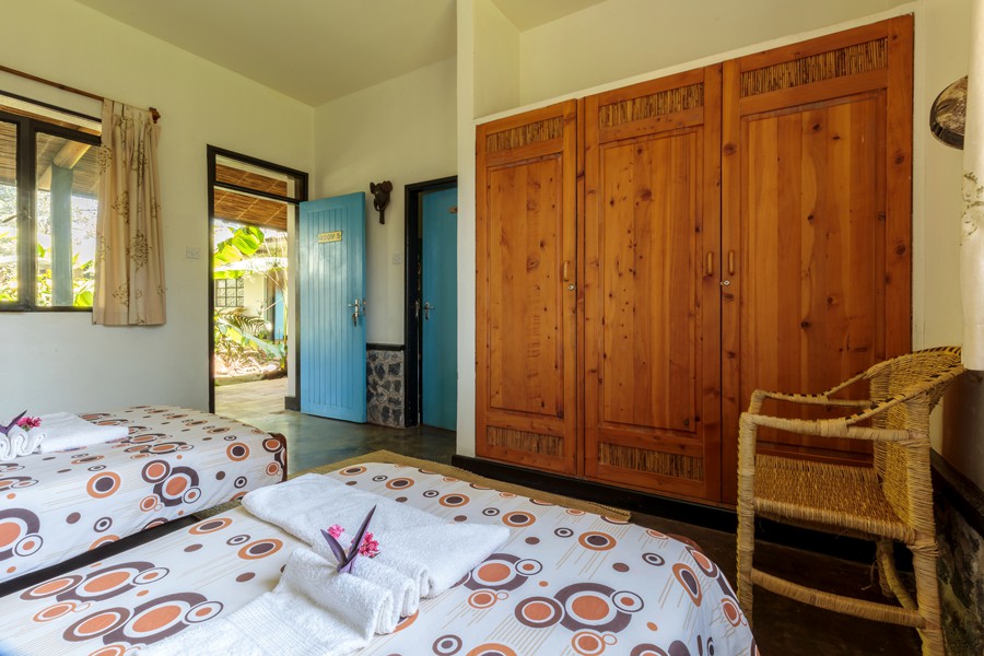
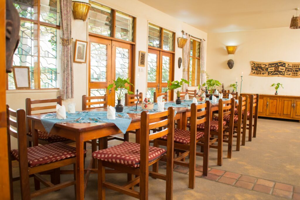
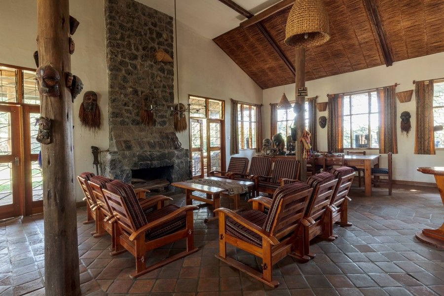
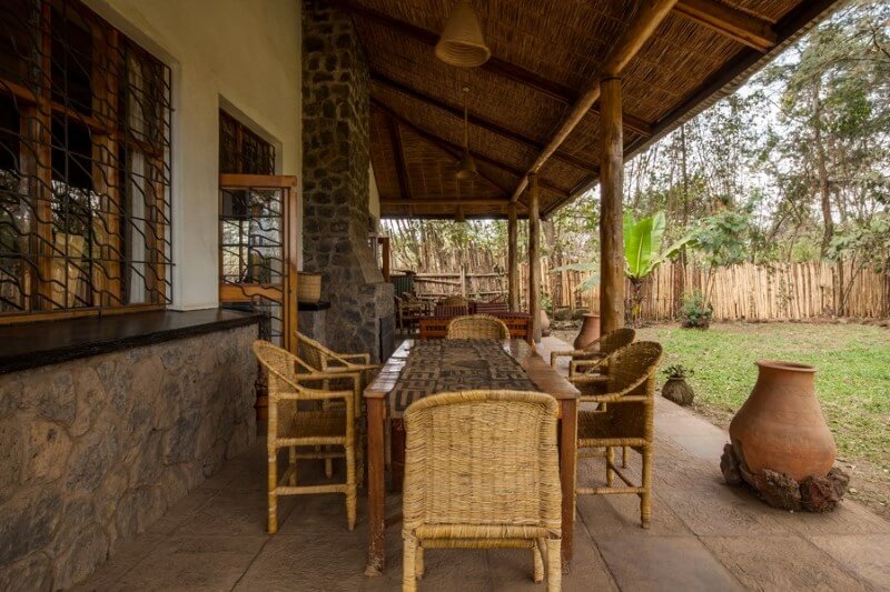
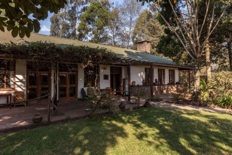
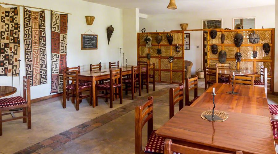
about the lodge

Being one of the oldest hotels in Uganda, with a history steeped in gorilla conservation, Travellers Rest becomes a must for your gorilla trekking in the area. It boasts an impressive list of guests. To name just one: Dian Fossey, who even called this her second home.

Built in 1955 by Walter Baumgartel, the so-called father of gorilla tourism, it quickly became a meeting place for people interested in the mountain gorillas. It was entirely renovated in 1999, but charm of the somewhat colonial style still remains up to today.

Situated just outside Kisoro, the area is of astonishing beauty and the views of the Virunga volcanoes dominating the landscape will remain engraved in your memory.

Accommodation

RATES & BOOKINGS

  2024
  BB HB FB
Single $90 $105 $115
Double $115 $145 $165
Extra bed $30 $45 $55
Children (7-13 years) $12 $20 $25
SPECIAL DISCOUNTED RATES book now

B&B: Bed and Breakfast / HB: Half Board / FB: Full Board
NOTE: above rates are inclusive VAT and taxes on accommodation

activities

Just above Ntebeko Gate is a small platform offering a magnificent view of Magahinga National Park and the surrounding area. To the south the three volcanoes, to the north miles of small gardens, Lake Mutanda and the hills of Bwindi Impenetrable Forest. To the west a great view of the Western Rift valley in Congo.
Difficulty: easy; walking time: 30 min; distance 1km

Almost 100 years ago there was a conflict between the Batwa (pygmies) and the Bantu population. The Batwa lived in the forests and the Bantu had their gardens and villages. The Batwa raided the Bantu in their villages and disappeared in the forests. The Bantu had no idea that there was a very large cave in the forest where the Batwa were hiding. Garama cave is 342 meters long and today it is only home to bats. During the visit the guide will tell you more about Garama Cave and the history and the life of the Batwa.
Difficulty: easy; walking time: 3 hrs; distance 4 km. NB: bring a torch!

Around 58% of Mgahinga National Park is covered with bamboo forest, a delicacy for the Gorillas and the Golden Monkeys. The walk to the top of the Mgahinga Volcano takes us through a very nice example of pure natural bamboo forest. This walk offers a good chance to see the rare Golden Monkey and Bushbucks. At the top (3474m) you will find a good view and a lush swamp in the crater.
Difficulty: moderate; walking time: 6 hrs; distance 6 km; elevation gain: 1100 m.

This walk takes us through the lush vegetation in the gorge of the Sabinyo. It is moist with a dense vegetation. A small river at the bottom of the gorge is responsible for creating this paradise over time. At the end of the walk is a small but nice waterfall and a very good view of all the peaks. A good place for lunch! The gorge is a good place for seeing birds, especially the Ruwenzori Turacoo. Golden Monkeys and Duikers can also be spotted.
Difficulty: moderate; walking time: 4 hrs; distance 6 km; elevation gain: very little. NB: bring good walking shoes!

Yes, free birding along the edge of the park is now available on request. The guides are very happy to take you out from 5-6 pm if you book by 10 am that morning. Birds that can be seen: Ibis, Whydah, Speckled Moosebird, Fire Finch, Stonechat, Grey Capped Warbler, Waxbills and Yellow-Vented Bulbul.
NB: bring your binoculars!

Mount Sabinyo is the oldest of the three volcanoes, quite eroded and that is why it has its name, which means: “teeth of the old man”! This volcano has three challenging peaks. The trail takes you up a ridge along the eastern side to Peak 1. If you wish to continue, the climb to Peak 2 involves walking a ridge with breathtaking drops into the gorges of Rwanda and Uganda. Finally, the hike up to Peak 3 is steep with several ladders and much scrambling. On top of peak 3 (3669m) you will be in Rwanda, Uganda and Congo at the same time! The Sabinyo hike takes you through all different vegetation belts, and you have good chances of seeing Golden Monkeys, Duiker, Rwenzori Turacos and Sunbirds.
Difficulty: you have to be fit! walking time: 8 hrs; distance 14 km; elevation gain: 1300 m. NB: bring good walking shoes!

This hike takes you first toward Sabinyo. The trail climbs up the base of Sabinyo for a while through fine montane forest before turning towards Congo. Along the way you will get a great view of Sabinyo’s gorge and peaks. Upon reaching Congo you cut back along the international border. The return leg to park head quarters is a great section for birding. The two rest huts along the way are good places for a break. Look closely for the Golden Monkeys and signs of elephants.
Difficulty: moderate; walking time: 8 hrs; distance 10 km; elevation gain: very little. NB: bring good walking shoes!

Walk with a local guide or on your own through the gardens and villages of the Bufumbira and Bachiga tribes. On your way you will learn a lot about how the people live and work. Often there is the possibility to eat at a local place or sometimes with a family. Other walks take us over the hills to Lake Mutanda and there you can go with a dugout canoe to Python Island and see birds near a swamp.
Difficulty: moderate; walking time: 3-5 hrs; distance 3-8 km; elevation gain: very little.

The Batwa Trail starts at the base of Mt Muhavura and runs across the lower slopes of the Muhavura and Gahinga volcanoes in Mgahinga Gorilla National Park. With the help of Batwa guides, you’ll see the forest as a larder, pharmacy, builder’s yard, tool kit and, above all a home. Along the trail, you’ll fire a bow and arrow, check hives for wild honey, help repair a Batwa shelter, harvest plants for medicine and food, light a fire without a matches, listen to legends and learn about Batwa traditions.
The highlight of the trail is a descent into the Garama cave, a 200m-long lava tube beneath Mt. gahinga. The Batwa are famed for their music and dance and their historic, subterranean council chamber in Garama Cave provides the setting for an unforgettable performance.

Getting there

Traveller’s Rest is located in the outskirts of Kisoro, on the corner of the road to Congo and the road to Rwanda. A big signpost on the corner of the roads to Bunagana and Cyanika shows the way.